
Bensalem Township Postal Coverage
The confirmed working postal labels for Bensalem Township are 19020 and 19053. They are delivery labels, not a statement that an entire ZIP area equals the Township. The coverage table uses only the official evidence in the research: USPS facility listings and Bucks County polling-place rows. A particular delivery address still needs an address-by-address USPS result and a civic check in the county property system.
| ZIP | Areas Covered | Post Office | Notes |
|---|---|---|---|
| 19020 | Bensalem postal label used across many County Bensalem precincts; also used by the Township Building and Bensalem Branch. | Bensalem Post Office, 1800 Byberry Road, Bensalem PA 19020-9998 | Confirm each delivery address through USPS. Postal coverage does not equal the municipal boundary. |
| 19053 | Trevose postal label used in Bensalem Township Upper precinct rows. | Feasterville Trevose Post Office, 275 E Street Road, Feasterville Trevose PA 19053-9997 | A Bensalem Township address may properly use Trevose as its postal city. |
| 19007 | Boundary-area postal reference only. Township coverage has not been confirmed by an authoritative address-range source. | Bristol Post Office, 699 Beaver Street, Bristol PA 19007-9998 | Do not treat it as Bensalem coverage without a USPS result for the exact address or an official boundary source. |
The table is intentionally cautious. It confirms two standard service labels and preserves the unresolved 19007 question instead of filling a map gap with a broad claim.
Postal Labels in Bensalem Township
County election material shows why delivery geography and civic geography must be checked separately. Bucks County lists Bensalem Township precincts with both Bensalem 19020 and Trevose 19053 postal designations. Upper 1 and Upper 3 poll at Trevose Fire Company on E Street Road, while many other Township precincts use the Bensalem postal label. A Trevose mailing city can therefore appear on a record for a Bensalem Township address.
The Bucks County polling-place list supplies the official precinct and postal-label context used here.
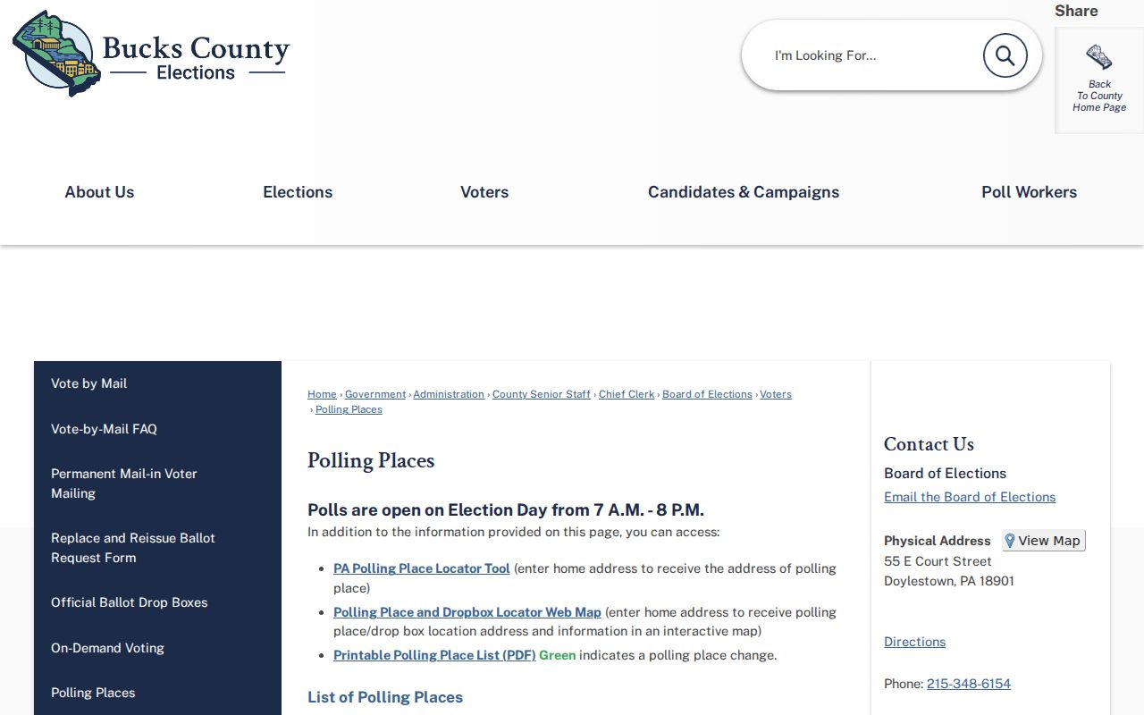
Polling rows are useful for civic geography, but they do not provide a public list of voters or establish a parcel boundary.
This postal-city mismatch is a research fact, not an error to correct away. Keep the municipal name, postal city, ZIP, parcel number, street name, and historic community label together when reconciling an older record.
Pennsylvania's self-service voter-status route is for an individual's own registration, not a ZIP browse. For a permitted election-record question, the Bucks County Board of Elections supplies the counter, phone, and request path. The state's electronic voter-list request procedure requires an affirmation and restricts internet publication, so it is not a substitute for parcel or postal verification.
Verify a Bensalem Township ZIP Code
The official route for a known delivery address is USPS ZIP Code Lookup. Enter the full address and retain the standardized postal city and ZIP only as a mailing check. It is more dependable for a single address than a third-party boundary display, especially near a municipal edge or where a record uses an older community label.
The USPS ZIP Code Lookup is the source for the address-specific postal verification step.
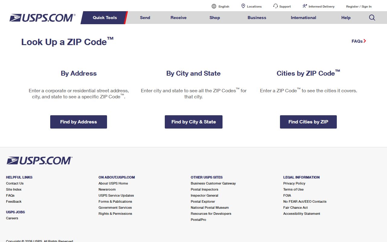
Use the returned mailing label with the county municipality filter, rather than substituting a postal result for a Township or parcel determination.
USPS lists the Bensalem Post Office at 1800 Byberry Road and the Feasterville Trevose Post Office at 275 E Street Road. Those facilities support the two confirmed labels, yet no facility listing alone draws a legal Township boundary.
Find Records Within Bensalem Township ZIPs
Use a ZIP as a narrowing clue, not as a request for a Township-wide list. The county property form accepts a mailing ZIP, while its Municipality selector sets the civic jurisdiction and Location Address identifies the property situs. This is why a Bensalem Township ZIP search should move from postal verification to a precise parcel or address record, then to the Recorder only when a deed or legal-description question remains.
- Run the exact delivery address through USPS ZIP Code Lookup. Record the returned postal city and ZIP for mailing verification.
- Open Bucks County Tax Claim Public Access. Search the Location Address and select Bensalem Twp in Municipality to identify the property's county tax context.
- Preserve the parcel number and separate the situs from any mailing address. If the address is new, split, or has a number gap, use the Township address-request procedure.
- For a recorded-document question, use the owner name and approximate transaction year in the Recorder's LANDEX path, then compare the deed's legal description and plan reference.
When the postal check has narrowed the area to a known street, the Bensalem Township street directory has the parcel-by-parcel deed, map, and municipal-record workflow. A ZIP does not replace that street-level work.
LANDEX is the Recorder's paid online channel for the recorded-document step. The Recorder also has a public research area, can give a short LANDEX tutorial, may schedule a specialized appointment, and accepts copy requests by phone or mail. Staff can orient the search but do not carry out a title or historical search for a requester.
Bensalem Township Tax Search for a Mailing ZIP
The Bucks County Tax Claim Public Access form has a free-text Zip Code field in its owner-information area. It can help narrow a search by a mailing ZIP, but it does not offer a mode that returns every parcel in a ZIP. The property location field is called Location Address, and Municipality is the civic-geography control. Those form choices matter when a postal city crosses a municipal line.
| Tax Claim field | Search role | What it does not establish |
|---|---|---|
| Parcel Number | Direct property identifier; all dashes are required. | A ZIP-wide property list. |
| Location Address | Search the property situs by house number and street. | The owner's mailing address or every person at the site. |
| Municipality | Select Bensalem Twp from the county dropdown. | A postal delivery area. |
| Name | Owner-information lead; use last name first. | A complete current-person directory. |
| Mailing Address, City, Zip Code | Narrow tax-mailing information. | The physical parcel location or Township line. |
| School District | Optional county form filter. | A municipal or postal boundary. |
The Tax Claim Public Access form is the source for these documented search fields.
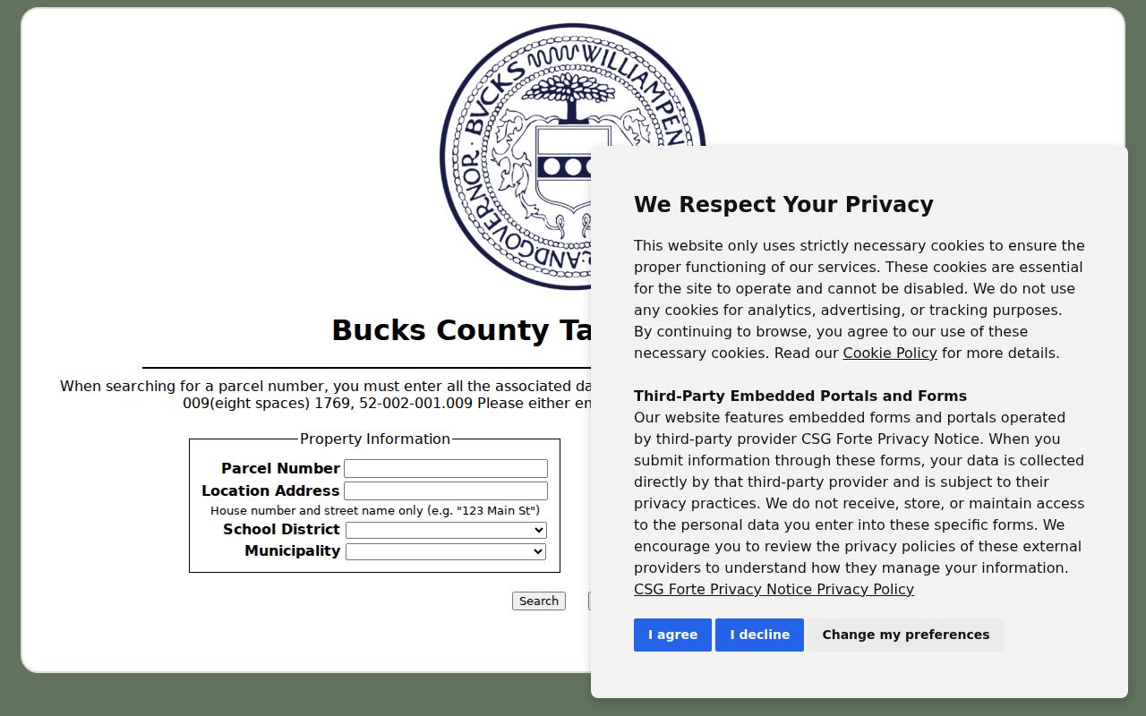
Its separate fields make the key comparison clear: the ZIP field narrows mailing information, while Municipality and Location Address do the local parcel work.
Note: The live form requires a usable parcel number or last name or address criterion and does not publish an index-start year, export control, or complete result-image policy.
If the Board of Assessment Appeals Public Access System is unavailable or a recorded-deed timing issue matters, use its Doylestown counter or contact path for current assessment and parcel-map information. The Board states that its online ownership information can lag a recorded deed, so compare the source dates rather than assuming both systems update together.
Bensalem Township ZIP Code and Civic Lines
A ZIP code is delivery geography. Bensalem Township is a municipal jurisdiction. The county property form, election precinct material, parcel number, and Recorder legal description each answer a different location question. A mailing line that says Bensalem or Trevose should be checked against Bensalem Twp in the county system before it is treated as a Township property.
- ZIP code
- A postal delivery label used to route mail. It is not a municipal boundary.
- ZIP+4
- An added delivery segment used by USPS to refine routing for a particular address or address range.
- PO-box ZIP
- A postal code used for post-office boxes, which does not itself identify a physical property area.
- Unique ZIP
- A postal code assigned for a single organization or specialized delivery purpose, not a general locality map.
- Carrier route
- A mail-delivery sequence used for routing, not a civic district or parcel ownership record.
Bensalem Township ZIPs and Address Assignment
Building and Planning is the confirmed local channel for a new or changed Bensalem Township address. Its request form requires one property per request and asks for the tax parcel, lot, street, nearest intersection, adjacent house number, plus a north, south, and across-street sketch. Submit it at 2400 Byberry Road or by email at permitcenter@bensalempa.gov.
Its review line includes Township Fire Rescue, Bucks County BOA, Bucks County 911, and the Post Office. The multi-custodian route explains why a street number, tax parcel, emergency-routing record, and postal label may be related but not interchangeable. The address form image was not successfully captured in the manifest, so no unassigned image is used here.
For permit, zoning, code, or planning material, ask Building and Planning for a defined address or parcel and date range. The Township does not advertise a public, general person-name resident directory or a searchable building-permit archive. A narrow record request is the documented local route.
Historic Labels and Bensalem Township ZIPs
Older records can use community names that do not match a present mailing line. The Township history reports that its borders have not changed, while its postal identity changed with a 1979 consolidation. Search Bensalem alongside Andalusia, Eddington, Cornwells Heights, Bridgewater, Flushing, Cornwells, and Trevose when a deed, obituary, directory, map, or tax record appears under a different locality.
That practice is especially helpful with an address record because the county tax form uses Bensalem Twp as its municipality option, while a delivery address may use a Bensalem or Trevose postal city. The legal description, plan, and lot on a Recorder document are a separate property identity that can survive a change in street label or postal description.
No ZIP split or realignment date was verified for the Township. No generic street-number grid or Township-wide renumbering date was verified either, so neither is used to explain a record mismatch.
The Bensalem Township 19007 Question
Bristol 19007 is a nearby postal reference, and USPS lists a Bristol Post Office. The research did not locate an authoritative address-range or ZIP-boundary source proving which, if any, Bensalem Township parcels use 19007. That is a real research gap, not evidence that the ZIP should be listed as Township coverage.
For a particular boundary address, use USPS ZIP Code Lookup first, then the Tax Claim form with Location Address and Municipality set to Bensalem Twp. If a parcel needs a historical or legal-identity check, compare the Recorder description and plan reference. This preserves the difference between a postal service result, a municipal jurisdiction, and a real-estate parcel.
Keep use of address information lawful and respectful. Postal, parcel, and tax records should support family history, estate questions, civic research, or checking a property record, never stalking, harassment, or harm.